Free tool
Easting/northing ↔ latitude and longitude converter
British National Grid (OSGB36), Irish Transverse Mercator, Irish Grid, UTM and all 124 US State Plane zones — converted to WGS84 latitude and longitude and back. One point, or a whole table pasted out of a spreadsheet. Free, no sign-up, nothing leaves your browser.
Loading the transformation engine…
Precision: the projections themselves are exact to well under a millimetre. The datum step is not — British National Grid uses the 7-parameter Helmert set, which sits 0.4–3.7 m from the official OSTN15 grid across Great Britain, and the Irish Grid uses the TM65 Helmert set. Good enough to plan and to check; not a substitute for a setting-out transformation.
Got the coordinates? Altivo turns a table of eastings, northings and levels into a plan and long section with DXF export — 14 days free.
Start freeCoordinate systems this tool covers
Five grids, chosen because they are what utility and civils drawings in the UK, Ireland, the United States and Canada actually arrive in — current national standards plus the legacy systems that record drawings and old DXF files are still held in.
| System | EPSG | Typical values (E / N) | Datum step |
|---|---|---|---|
| British National Grid (OSGB36) | 27700 | 0–700 000 / 0–1 300 000 | 7-parameter Helmert (EPSG:1314), 0.4–3.7 m vs OSTN15 |
| Irish Transverse Mercator (ITM) | 2157 | 400 000–740 000 / 520 000–970 000 | None needed — IRENET95/ETRS89, so ~1 m vs WGS84 |
| Irish Grid (TM65) | 29902 | 0–500 000 / 0–500 000 | 7-parameter Helmert (EPSG:1642); OSi/OSNI publish a grid |
| UTM, zones 1–60, N and S | 326xx / 327xx / 269xx | 160 000–840 000 / 0–10 000 000 | None applied (WGS84 ≈ NAD83 to 1–2 m) |
| US State Plane, all 124 NAD83 zones | 26929–26998, 32100–32161, 2205, 3088 | Zone-specific; feet or metres | None applied (NAD83 ≈ WGS84 to 1–2 m) |
Every zone definition comes straight from the EPSG registry and is checked against PROJ in the test suite — including each of the 124 State Plane zones individually, from Alabama East to the oblique Mercator of Alaska zone 1.
How to use it
- Identify the grid first. Look for an EPSG code, a projection name in the DXF header, or a phrase such as “OS National Grid”, “ITM” or “NAD83 State Plane, Texas Central” in the title block. Converting from the wrong grid produces a plausible-looking answer in the wrong country.
- Pick the direction in the first dropdown, then fill in any zone the grid needs. A UTM easting cannot tell you its zone and a State Plane easting cannot tell you its state — those have to come from the drawing.
- Enter one point, or paste the whole table. The batch tab takes up to 2000 rows with an optional point name on each line, and gives you tab-separated text to paste back or a CSV to download.
- Check the units on a State Plane job. Choose metres, US survey feet or international feet — the wrong foot puts you over a metre out at a typical false easting.
Accuracy: what this tool can and cannot do
Projections are exact. The Transverse Mercator and Lambert Conformal maths runs to well under a millimetre; the Ordnance Survey’s own worked example (Caister water tower) reproduces to 0.3 mm in our tests.
Datum changes are not. Moving between OSGB36 and WGS84 means changing the shape and position of the reference ellipsoid, and the official answers are grid-shift files — OSTN15 in Great Britain, the OSi/OSNI grid in Ireland, NADCON/HTDP in the United States. None of them fits sensibly in a web page, so this tool uses the published 7-parameter Helmert sets instead. Measured against OSTN15 at seven points across Great Britain the difference ran from 0.40 m to 3.69 m.
NAD83 is not WGS84, by 1 to 2 metres in the lower 48 and more in Alaska and Hawaii, and this tool does not apply that shift. Nor does it touch heights: AOD (Newlyn), Malin Head, NAVD 88 and ellipsoid height are separate vertical datums that need a geoid model.
Rule of thumb: use it to place assets on a map, to check a survey against Google Earth, to get a design onto the right piece of ground and to move levels into a long section. Do not use it to set out, to define a boundary, or for anything that has to tie into a control network.
Frequently asked questions
How do I convert easting and northing to latitude and longitude?
Pick the grid the numbers came from, paste the easting (X) first and the northing (Y) second, and read the latitude and longitude off the result. The grid matters more than the numbers do: 530000, 180000 is central London on the British National Grid, open sea on the Irish Grid and nowhere sensible in a State Plane zone. If the drawing does not say, the title block, the EPSG code in the DXF or the surveyor will.
Which is easting and which is northing?
Easting is the distance east of the grid origin and always comes first in survey and CAD convention (X, then Y); northing is the distance north. On the British National Grid the northing runs from 0 at the Scilly latitude to about 1 300 000 at Shetland, while the easting never exceeds 700 000 — so a first number above 700 000 in a GB dataset means the columns are the other way round. The converter has a "columns are swapped" switch and will flag a pasted table that looks reversed.
How accurate is OSGB36 to WGS84 without OSTN15?
Ordnance Survey defines the official transformation as OSTN15, a grid-shift file of about 25 MB that is not practical to load in a browser. This tool uses the standard 7-parameter Helmert set instead (EPSG:1314, the same fallback PROJ uses). We measured the difference against OSTN15 at seven points spread across Great Britain: 0.40 m to 3.69 m, typically about 2 m. That is fine for planning, feasibility, locating an asset on a map or sanity-checking a survey. It is not fine for setting out, boundary work or anything that has to close against a control network — for those, transform through OSTN15 in your survey software.
What is the difference between BNG, ITM, State Plane and UTM?
All four are Transverse Mercator or Lambert Conformal projections; they differ in how much of the world each zone has to cover, and therefore in how much scale distortion you accept. The British National Grid is one zone for the whole of Great Britain, so its scale factor reaches roughly 1 part in 2500 at the edges. Irish Transverse Mercator does the same for the island of Ireland. US State Plane cuts the country into 124 small zones precisely to hold distortion under about 1:10 000, which is why a US project quotes a state and a zone, not just "State Plane". UTM is the global compromise: 60 zones of 6° each, distortion up to 1:2500, and the only one of the four you can use anywhere.
Is NAD83 the same as WGS84?
Not quite. They agreed to within a metre when NAD83 was defined in 1986, but the North American plate has moved since and modern WGS84 realisations track the global frame, so the two are now about 1 to 2 metres apart in the lower 48 and further in Alaska and Hawaii. This tool applies no shift between them — the State Plane and NAD83 UTM results are the projection only. For survey-grade work use NGS tools (NCAT, HTDP) and state the epoch.
US survey feet or international feet?
Both, and getting it wrong matters. The US survey foot is exactly 1200/3937 m and the international foot is exactly 0.3048 m — a ratio of 2 parts per million, which sounds harmless until you apply it to a State Plane easting of 2 000 000 ft and land 1.2 m away. NIST and NGS retired the US survey foot at the end of 2022, but legacy drawings, state legislation and older CAD files are full of it. The converter states which foot EPSG publishes for the zone you picked and lets you output either.
Can I convert a whole spreadsheet at once?
Yes. Switch to "Paste a table" and paste up to 2000 rows straight out of Excel, a CSV or a text file — tabs, commas, semicolons and spaces all parse, and an optional point name at the start of the line is carried through to the output. Results copy back as tab-separated text or download as CSV. For the British National Grid and the Irish Grid a row may also be a grid reference such as TQ 30080 80340.
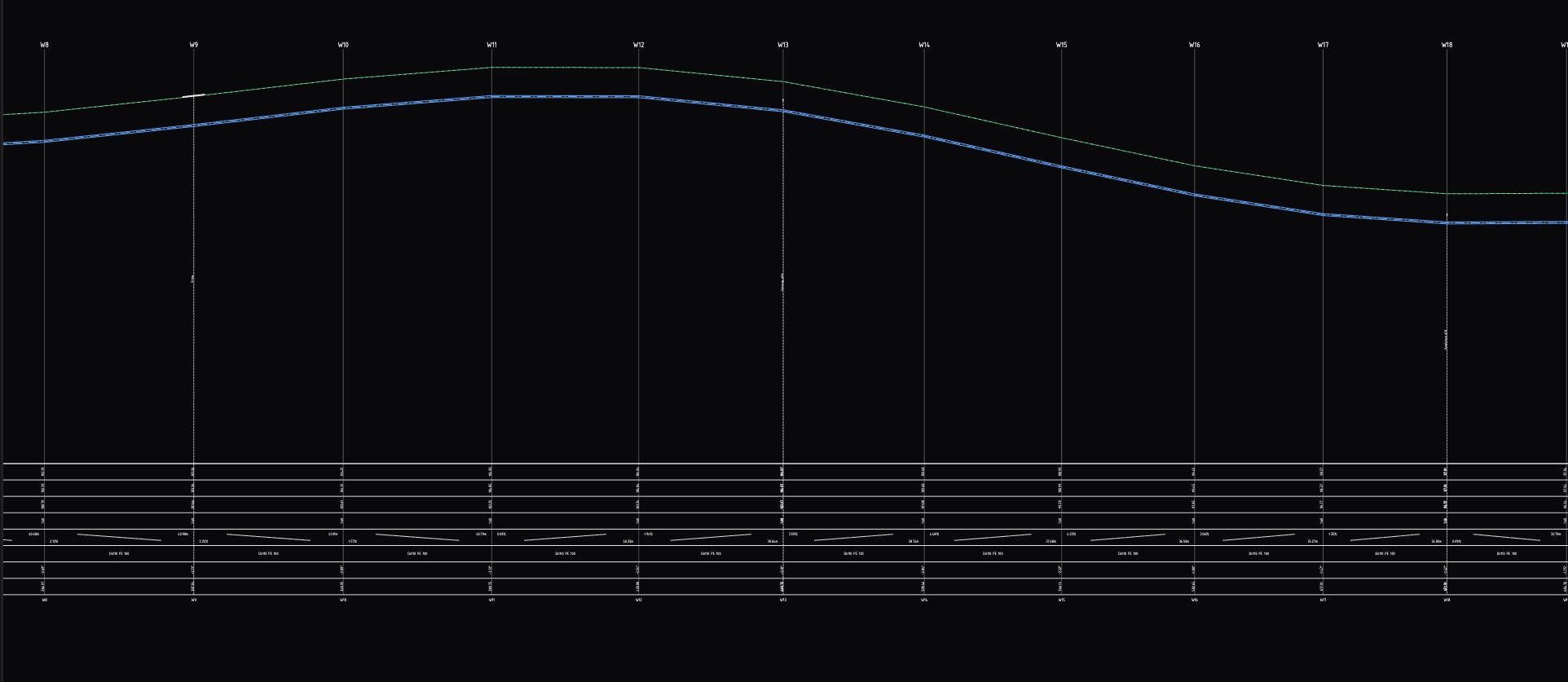
Got a table of eastings, northings and levels? Turn it into a long section
Paste the coordinates and cover levels, set gradients and invert levels, add crossings and chambers — then download a clean DXF for CAD. 14 days free, no card.
The same points you just converted go straight into Altivo, which builds the plan and the long section with chainage from them.
Try Altivo for free