Free tool
CSV to DXF: survey points with point IDs and elevations
Paste a point list from Excel or choose a CSV file, map the point ID, easting, northing and optional elevation columns, and download a DXF with labelled points. Absolute coordinates in metres are kept exactly as they are. Free, no sign-up.
Metres only; feet are not converted. Convert horizontal coordinates AND elevations before importing foot-based data.
Up to 200 points. Everything runs in your browser — the coordinates are not uploaded. Coordinates and elevations are passed through unchanged: no conversion between coordinate systems, no change of vertical datum and no unit conversion.
How the import works
- Copy the cells from Excel and paste them, or choose a CSV file. The delimiter (comma, tab, semicolon, space) and decimal separator are detected, or you can set them explicitly.
- Map the columns: point ID, easting (E), northing (N) and, optionally, elevation (Z). Any other columns, such as descriptions, are ignored.
- Check the preview, confirm the coordinates are in metres and download the DXF. Points go on layer
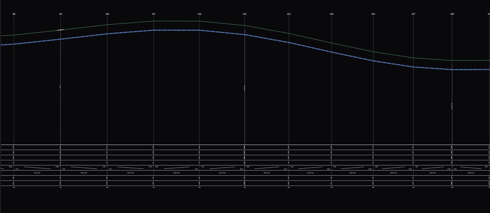
PUNKTE, ID labels onPUNKTNUMMERNand the optional connecting line onVERBINDUNG— German for "points", "point numbers" and "connection", kept identical in every language version so CAD templates and layer filters keep working. Drawing units are metres. - Two or more points along a route can go straight into the long-section preview — with their point IDs and, where present, ground elevations.
Coordinates still in latitude/longitude? Convert them to a projected grid first with the easting/northing converter. This tool does not transform anything: no coordinate-system conversion, no datum change and no feet-to-metres conversion.
Frequently asked questions
Are my coordinates changed or converted?
No. The DXF points sit exactly on the eastings and northings you enter, in metres, and an elevation is written only if you map a Z column. Nothing is shifted to a local origin and nothing is converted between coordinate systems or vertical datums. Without an elevation column you get a 2D drawing with Z = 0 — no elevations are invented.
My data is in feet. Can I use it?
Not directly. The tool works in metres only; feet are not converted, and the DXF is always written in metres. Convert horizontal coordinates and elevations to metres before importing foot-based data, and check which foot your data uses: the US survey foot (1200/3937 m) and the international foot (0.3048 m) differ by about 2 parts per million, which adds up to around a metre at typical State Plane false eastings.
What happens to point IDs such as 0012 or 1001?
The point ID is copied as text from the mapped column, exactly as it appears in the file. Leading zeros are kept, and purely numeric IDs are never mistaken for coordinates. Empty or duplicate point IDs are reported as errors.
Which column is the easting and which is the northing?
You decide: each role (point ID, easting, northing, elevation) is mapped to a column. Headers such as ID, Easting, Northing and Elevation are suggested automatically; neutral headers like X and Y are deliberately not mapped, because surveying and CAD conventions do not agree on which axis X is.
What happens to rows with errors?
They are not skipped. Invalid numbers, thousands separators, missing elevations, inconsistent column counts and too many rows are reported with their row number, and the download stays locked until the data is complete.
When should I turn on the polyline?
Only if the row order really is the route — for example manhole 1 to manhole 12 along a sewer run. For survey points in arbitrary order a connecting line would draw something that is not there, so it is off by default.
Can I use XLSX or DWG files?
No. Save the Excel sheet as CSV or paste the cells straight into the input box. The output is DXF, which AutoCAD, BricsCAD, Civil 3D and other CAD programs open.
Turn the points into a long section with DXF export
Altivo turns points with coordinates and levels into a plan and a long section: set depths, add crossings and structures, and download a clean DXF for CAD. 14 days free, no card.
Try Altivo for free